Attractions
Bear Glacier Provincial Park
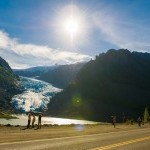
Bear Glacier is a destination for travellers heading north on Highway 37. Just a short side trip on Highway 37A towards Stewart, the Bear Glacier descends towards Strohn Lake, down Bear River Pass.
Note- The day use area has now been closed
Boya Lake Provincial Park
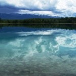
With many islands and lovely bays, Boya Lake Provincial Park an excellent place for canoeing or kayaking. Look into its depths to see fish swimming below, visible against the white marl bottom. Its unique aqua-green hue and relatively warm and swimmable water makes Boya Lake a must-visit place on the route.
Clements Lake
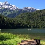
Clements Lake offers good opportunities for picnicking, canoeing, camping and a sandy beach for swimming. Motor restrictions apply on the lake. Site is maintained May to October.
Estuary Boardwalk
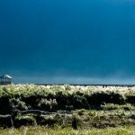
The estuary boardwalk extends out across the tidal flats, take in the views of wetland plants and birds, as well as the adjacent mountains. A variety of birds frequent these tidal flats. It is best walked in the early morning hours or the late evening hours to see the birds.
Fish Creek Wildlife Observation Site
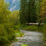
The Fish Creek Wildlife Observation Site provides excellent opportunities to view Black and Grizzly bears feed on salmon during the months of July and August.
Gitanyow Historical Village
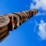
Situated in Gitanyow (Kitwancool) is the historic village, home to some of the oldest-known and largest collection of totem poles in British Columbia.
Gitwangak Battle Hill National Historic Site
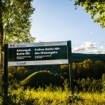
Gitwangak Battle Hill (formerly known as Kitwanga Fort ) was a fortified village occupied during the late 1700s and early 1800s by the Gitwangak First Nation.
Glenora
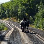
Upstream from Telegraph Creek, Glenora was the original Hudson Bay Fort location. Because Telegraph Creek was head of navigation for sternwheelers carrying prospectors up the Stikine en route to the Chilkoot Pass, it was a better location.
Gnat Pass/ BC Rail Grade
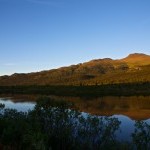
Gnat Pass, the highest point of the Stewart-Cassiar Highway at 4,071 ft, provides views of the old BC Rail grade. The unfinished rail bed through the wilderness now provides rough road access into some of BC’s remote interior. Note that the road is unmaintained.
Iskut River Valley (Mountain Goat Viewing)
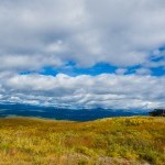
The Iskut River Valley is characterized by a collection of headwater lakes, adjacent plateaus, and is sharply divided by spectacular falls and unnavigable canyons.
Jade City - Cassiar
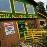
Jade City, named for the extensive jade deposits found nearby, offers a glimpse into mining this lovely stone. With a population of approximately 20 people, the family-run jade mining operation is a stop of particular interest on the Stewart Cassiar Highway.
Kinaskan Lake Provincial Park
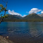
Overnight campers and avid fishers will find Kinaskan Lake to be the perfect spot to stop and relax. The campsites provide a spectacular introduction to northern scenery.
Meziadin Fish Ladder
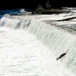
Located just downstream from Meziadin Lake, the Meziadin River Fish Ladder is a popular stop for fish and wildlife viewing. Large chinook and sockeye salmon can be seen leaping into the air as they navigate the ladder in late summer.
Meziadin Lake Provincial Park
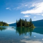
A three-kilometre (1.8-mile) drive leads west to Meziadin Lake Provincial Park, a popular summer campsite and fishing spot. The park has recently been updated with 66 vehicle sites, most directly on the lake.
Morchuea Lake Recreation Site
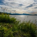
Located approximately 50 km south of the village of Dease Lake, where it crosses Highway 37. The access road to the lake is indicated by a Recreation Site sign on the west side of the highway.
Mount Edziza Provincial Park
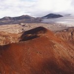
The youngest volcanic cone in North America which encompasses over 230,000 hectares of the Tahltan Highlands in northwestern British Columbia.
Nisga’a Memorial Lava Bed Park
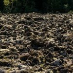
Anhluut’ukwsim Laxmihl Angwinga’asanskwhl Nisga’a (Nisga’a Memorial Lava Bed Park) is the first provincial park within the Province of British Columbia established to combine interpretation of natural features and native culture.
Nisga’a Museum
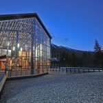
The Nisga’a Museum and its collections are directly related to the historic Nisga’a Treaty. The museum’s permanent collection is an assemblage of 300+ artifacts and art objects that left the Nass (Lisims) Valley in the latter part of the 19th Century and early part of the 20th Century.
Salmon Glacier
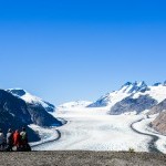
Another spectacular sight is the Salmon Glacier which is a 37km (23 mile) drive from Stewart - past Hyder & beyond the Bear viewing platform
Sawmill Point Recreation Site
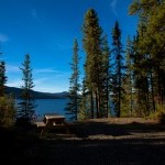
Sawmill Point Recreation Site, 41 km north of the community of Dease Lake, gives direct access to the lake. Once the site of a short-lived Hudson’s Bay Company post established in 1838 and abandoned in 1839, now it is a popular camping and fishing spot.
Sluice Box/Barneys Gulch Trail
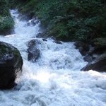
Sluice Box/Barneys Gulch Trail is a short moderate hike that follows the original railway bend leading out of Stewart and then turns right, climbing up along the historic sluice box, to a viewpoint overlooking the town of Stewart and the Portland Canal.
Spatzizi Plateau Wilderness Provincial Park
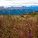
One of Canada’s largest and most significant parks. True wilderness atmosphere, outstanding scenery and varied terrain make this park an excellent place for quality hiking, photography, and nature study. Lands within the park have an excellent capability for supporting large populations of wildlife.
St. Paul’s Anglican Church
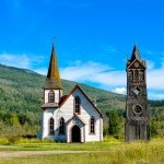
Built 120 years ago in 1893, St. Paul's Anglican Church still stands today in Gitwangak, the bell tower even still has it's original bell.
Stikine River Provincial Park
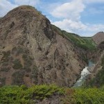
This park is a geological feature unparalleled in Canada. Eighty kilometres of steep-walled canyon, composed of sedimentary and volcanic rock, has been carved through eons of river erosion.
Tahltan
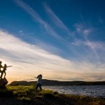
Tahltan is a first nations community at the confluence of the Stikine and Tahltan Rivers. On the canyon wall across the river is Home of the Crow- or Sesk’iye cho kime (promunced Sis Kia Cho Kima), also referred to as Eagle Rock.
Titan Trail
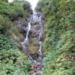
Feeling adventurous? Titan Trail is a difficult 7.7 km (4.8 mile) climb that follows a mule trail, which accesses the historic Titan Mine site.
Todagin South Slope Provincial Park
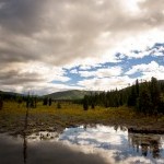
The world’s largest population of nursing Stone Sheep. The park protects habitat for a wide variety of wildlife, including mountain goats, grizzly bears, moose and caribou. Recreation opportunities include wildlife viewing and bow hunting in a backcountry wilderness.
United Empire Trail
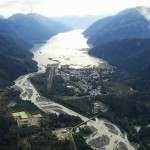
United Empire Trail is a steep trail that follows along the Bear River then climbs to a viewpoint (1 km) overlooking the Bear River Valley and Stewart.
Vetter Falls
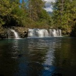
The ice cold glacial fed waters of Vetter Creek flow above and under the lava fields in Nisga'a Memorial Lava Bed Park.
Home » Here


